Technical exchange丨Yangtze River Delta Surveying and Mapping Technology
With the vigorous development of the digital economy, technical exchange activities have been carried out in many places recently to discuss issues related to the integration and application of the digital economy and surveying and mapping geographic information technology. On June 30, Foxtech Robot was invited by the organizer to attend the Yangtze River Delta Surveying and Mapping Geographic Information Technology Exchange Conference held in Shanghai and the Real-life 3D Construction Exchange Conference held in Hefei, Anhui Province, sharing and demonstrating the application of Pegasus robots in surveying and mapping technology. Achievements achieved in field exploration and practice.
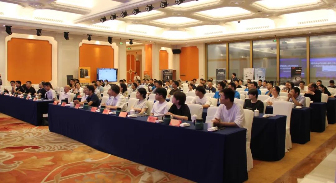
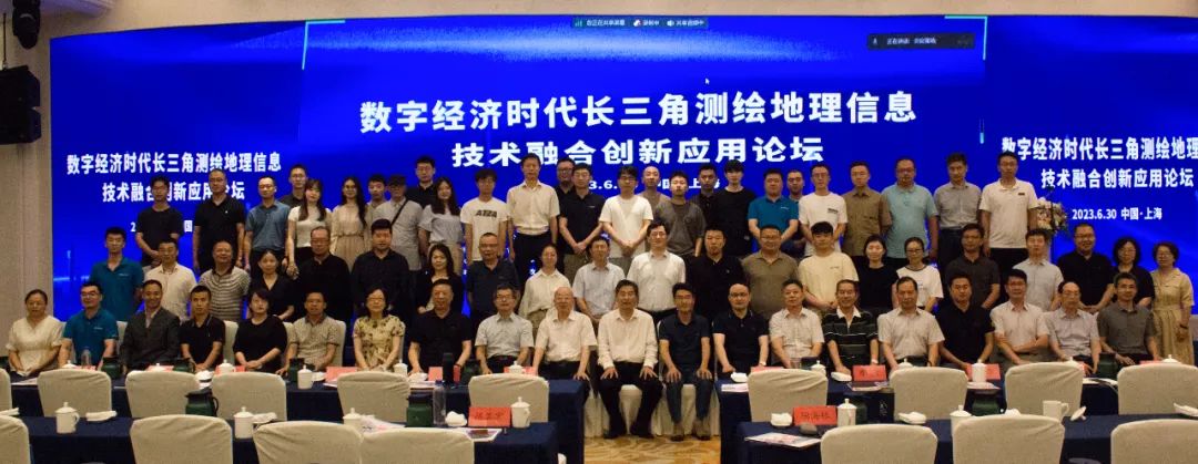
On June 30, under the guidance of the China Society of Surveying, Mapping and Geoinformation, and co-sponsored by the Shanghai Society of Surveying, Mapping and Geographic Information, Jiangsu Society of Surveying, Mapping and Geographic Information, Zhejiang Society of Surveying and Mapping, and Anhui Society of Surveying, Mapping and Geographic Information, the Jiangsu Society of Surveying, Mapping and Geographic Information Internet + Geographic Information Major The "Yangtze River Delta Surveying and Mapping Geographic Information Technology Integration Innovation Application Forum in the Digital Economy Era" hosted by the Committee, Foxtech Robot and others was held as scheduled in Shanghai.
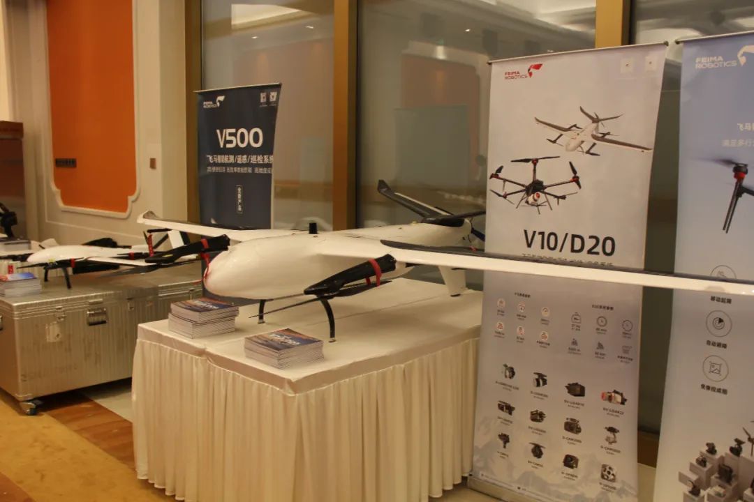
Zhang Shijie, Vice President of Foxtech Robot, gave a report titled "New Equipment and New Methods for Integrated Air-Space-Ground Surveying and Mapping Technology" and introduced the space-space-ground integration launched by Pegasus Robot to meet the needs of digitization, intelligence and real-time in the field of surveying and mapping geographical information. Product solutions, the report focuses on new technologies, new products and new applications in surveying and mapping, remote sensing, ecology, forestry, electric power and land spatial planning industries, and gives typical application cases of drone surveying and mapping combined with 3D mobile measurement technology.
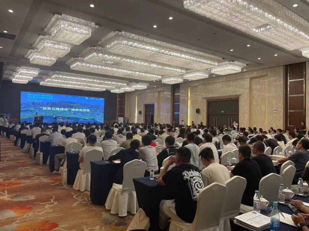
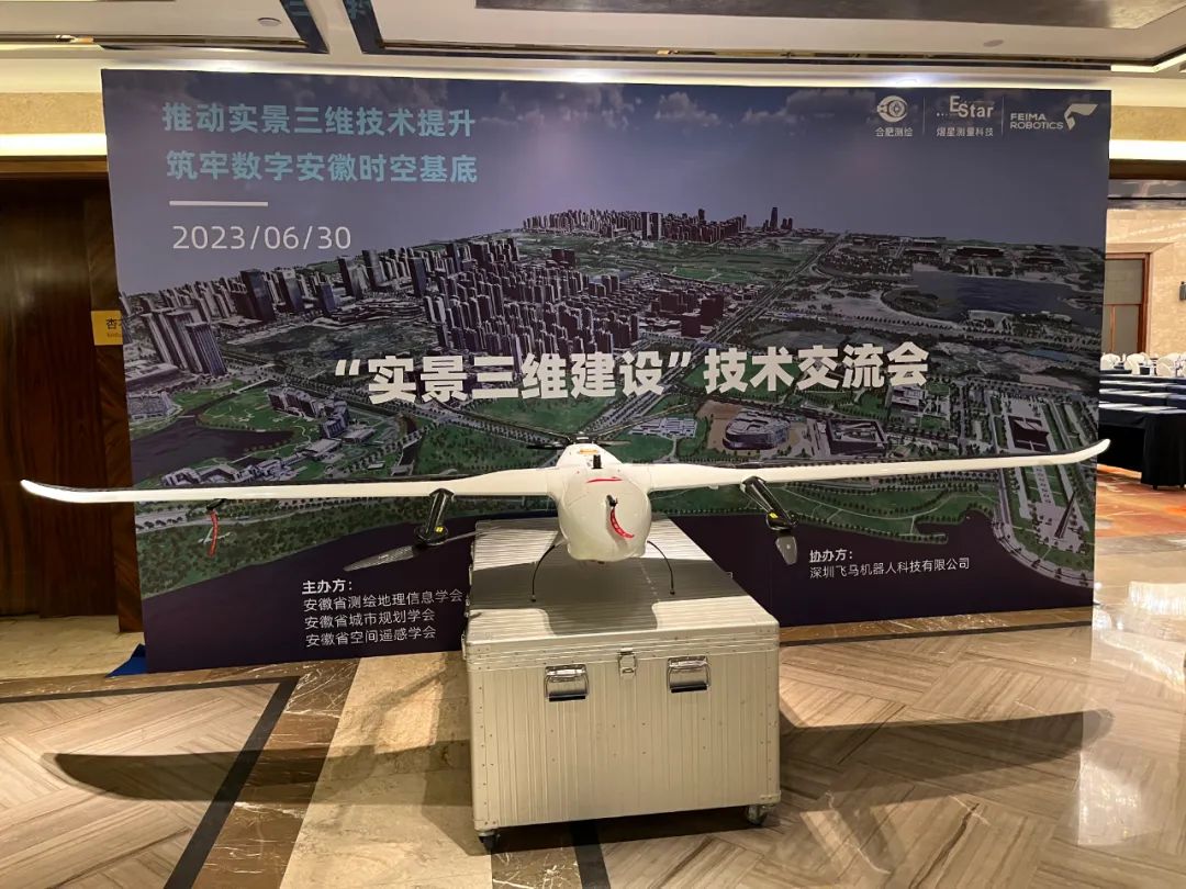
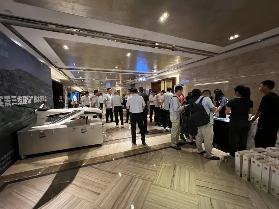
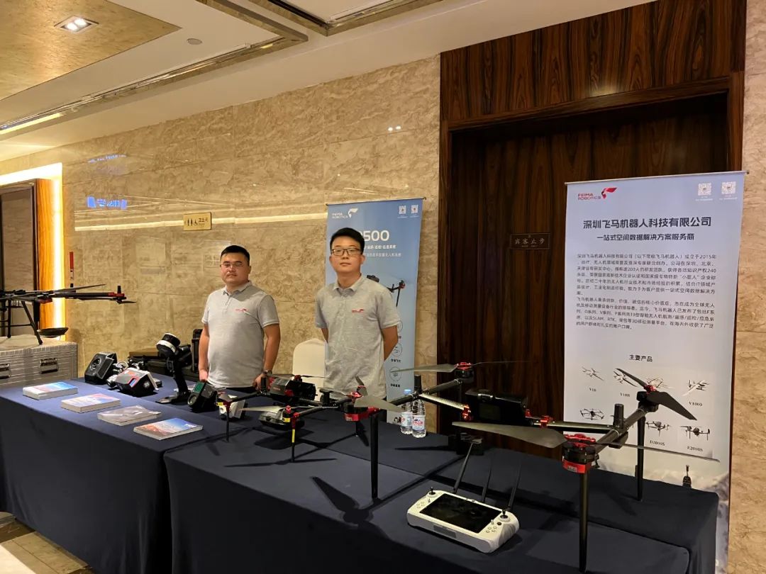
On the same day, the "Real 3D Construction" technical exchange meeting with the theme of "Promoting the improvement of real 3D technology and building a solid foundation for digital Anhui time and space" was successfully held in Hefei, Anhui. In the keynote speech session, Qin Moli, director of the Eastern Region of Foxtech Robot, shared the topic of "Real Scene 3D Multi-Source Data Collection and Equipment Product Introduction".
With the development of the Internet and information technology, the surveying, mapping and geographical information industry has entered the stage of digital and information-based surveying and mapping. Surveying and mapping technology and products have also gradually upgraded and developed, from providing single products and services to one-stop solutions, from obtaining maps, images From geographical information data to the construction of diversified real-life three-dimensional models, the market demand for spatial data continues to increase, and the application fields of surveying and mapping technology are becoming more and more extensive. Foxtech Robot is also exploring and practicing, and continues to provide more efficient, accurate, and diverse geographical information spatial data products, technologies, and services to better serve economic and social development and ecological civilization construction.
