Opening up a new track for low-altitude economy丨Guangxi UAV emergency surveying and mapping linkage service platform
The Guangxi UAV Emergency Surveying and Mapping Linkage Service Platform, organized and developed by the Department of Natural Resources of the Guangxi Zhuang Autonomous Region, has been connected to more than 900 alliance units and more than 260,000 UAVs and other various equipment, initially opening up a new track for the low-altitude economy. At the first China Surveying, Mapping and Geographic Information Conference held recently, Guangxi’s “‘Internet+’ UAV Emergency Surveying and Mapping Key Technologies and Applications” won the second prize of the Geographic Information Technology Progress Award of the China Geographic Information Industry Association.
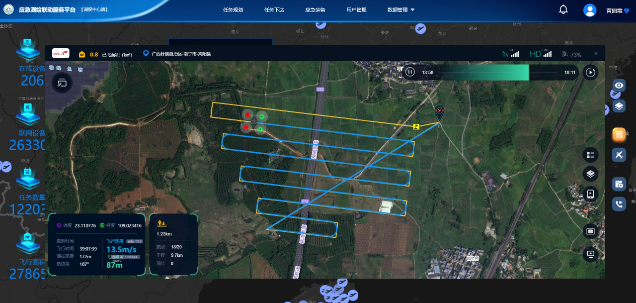
In January 2021, the Guangxi Department of Natural Resources took the lead in developing a UAV emergency surveying and mapping linkage service platform in the country based on Internet thinking and learning from the "Didi Taxi" model. Relying on the National Emergency Surveying and Mapping Support Nanning Base and using the emergency surveying and mapping service platform, Guangxi is the first in the country to create a new model for online sharing of emergency surveying and mapping equipment, realizing cross-platform and cross-regional real-time mobilization of various types of unmanned aircraft and emergency surveying and mapping teams, and enabling teams to arrive at the scene within 2 hours , 4-hour data backhaul has greatly improved the rapid response and support service capabilities of emergency surveying and mapping in Guangxi and surrounding provinces.
The Guangxi Department of Natural Resources actively explores innovative scenario applications. By upgrading the automatic data transmission encryption function of the emergency surveying and mapping service platform, it expands device access capabilities, optimizes the task release process, and carries out transformation and upgrade of original functions and interfaces to further improve the platform's usability and ease of use. Stability and safety will promote the application of drones in the low-altitude economy in the future. The department also purchased a UAV lidar system and laser point cloud processing software to complete the development of a rapid and automated emergency data processing system, greatly improving its emergency data processing capabilities.
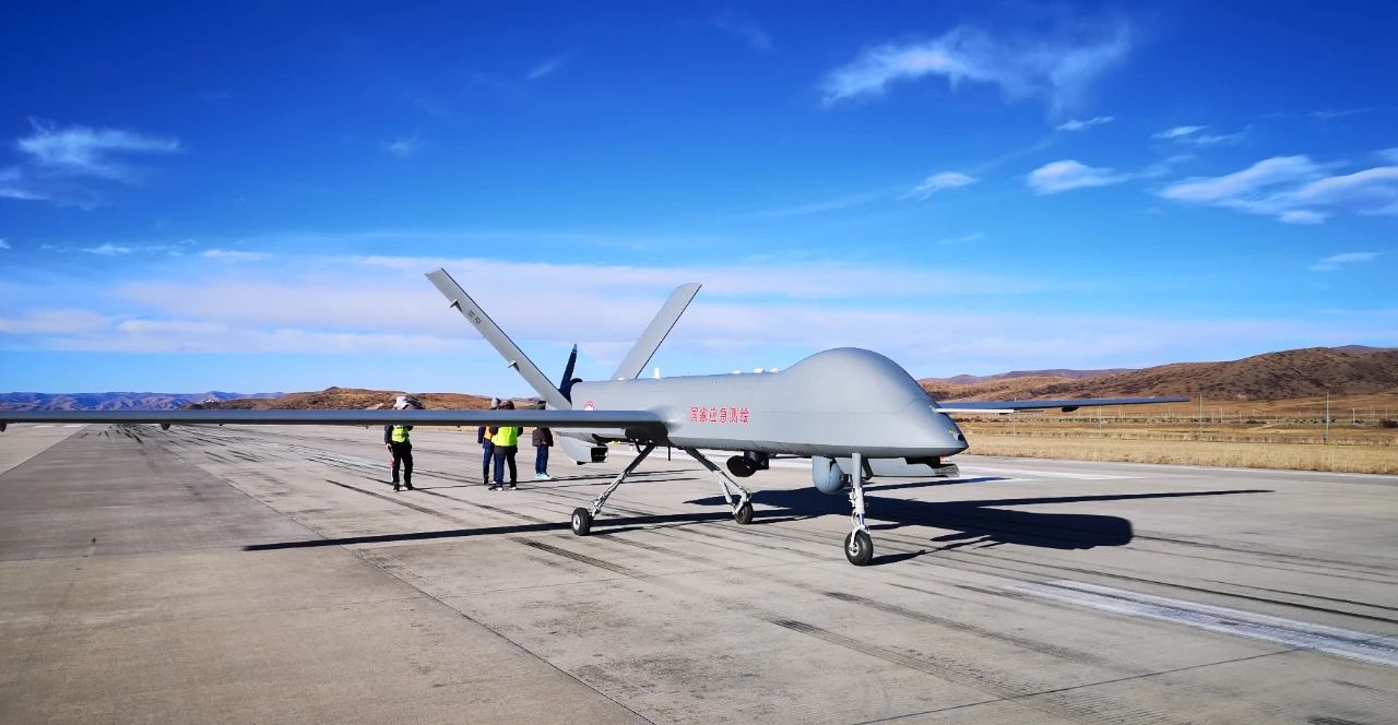
As of December 8, the platform has access to more than 900 alliance units and more than 260,000 devices, including 825 drones, 161 CORS stations, more than 240,000 mobile terminals for field leaders at all levels, and other survey and monitoring mobile terminals. More than 20,000. UAVs connected to the platform have completed more than 120,000 flights and acquired images covering an area of more than 270,000 square kilometers. In 2023 alone, more than 100 UAVs will be used to quickly obtain high-resolution images of approximately 50,000 square kilometers of key monitoring areas. Aerial image data has strongly supported key tasks such as comprehensive monitoring and supervision of natural resources, monitoring of "non-agricultural" and "non-grain" farmland, open-pit mine monitoring, and major project monitoring, saving more than 35 million yuan year-on-year.
"UAVs are the leading force in the low-altitude economy in the future and are currently gaining momentum in technological innovation and industrial development." The person in charge of the Geographic Information Division of the Guangxi Department of Natural Resources said that the application of UAVs in the UAV industry has gradually become an important part of the low-altitude digital economy. , need to be carried and managed through low-altitude intelligent networking, and the coordinating capabilities of the intelligent low-altitude flight service system can be used to enrich low-altitude application scenarios point-to-point, and be applied to logistics and distribution, urban air transportation, emergency rescue, urban management, industrial applications, tourism and entertainment and other fields , and constantly improve the low-altitude economic development ecology.
The person in charge said that the current Guangxi UAV emergency surveying and mapping linkage service platform has initially developed a prototype of a low-altitude flight service system. It only needs to open up more resources in low-altitude airspace approval, meteorological services, etc. to realize intelligent flight services and form a A physical network space suitable for digital and intelligent operations of low-altitude businesses provides a networked, digital, and intelligent operating environment for the development of the low-altitude economy and its supporting industries, and promotes the opening of a new track for the development of the low-altitude economy
